Geospatial training activities
Call For Sites
We are currently undertaking work and gathering evidence in preperation for our area's 2022 Local Development Plan. As part of this the Council are running a Call For Sites exercise, asking people to identify land or sites that will available to be developed for housing or commercial purposes. If you want to promote a site for potential development please complete this form. You will receive an acknowledgement of your submission to retain for your records. Please submit...
Queen's Jubilee - Platinum Pudding Parade
Ahead of the Queen's Jubilee celebration this June, there will be a Platinum Pudding Parade which will travel around the UK and pass through the city of Warwick. A super-sized ceremonial version of the pudding chosen to mark this occasion will be carried on a platinum platter through the city by someone nominated and voted for by the general public, and accompanied by soldiers, musicians and no doubt majorettes twirling batons. Naturally, spectators will be given free slices of pudding...
Coronation Day 2024, our plans for city-wide celebrations
We are planning a number of events to celebrate the coronation of King Charles over the weekend of 5th to 7th May. There will be a Coronation Parade on Saturday 6th May which will culminate in an evening celebration concert that will be free to attend. We are also planning 'street party' community meals in parks across the city on Sunday 7th May. We'd like to hear your views on what route you think the parade should take, where we should hold the concert, and potential...
Bushfire Risk Management Plan
A bushfire management plan is set out by local governments in Australia to ensure that their land is adequately prepared for the eventuality of bushfires, and every step has been taken to decrease the chances of bushfires occurring. This plan has to take account of a changing climate and the effects this will have on bushfire activity within Arlen Hill. We are asking you to detail the steps that you are currently taking to reduce the risk of bushfires so we can understand where we currently...
Files to download for geospatial training
Please download the files attached to related documents at the bottom of this page. You may not be able to open these files, this is fine, you just need to be able to save them and then upload them!
Choose how you want people to respond
Get exactly the type of geospatial data you need for your process.
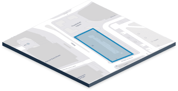
Shapes and polygons

Respondents draw areas, property boundaries and other shapes.
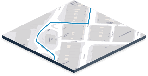
Lines and routes

Respondents mark out paths, travel routes and other lines.
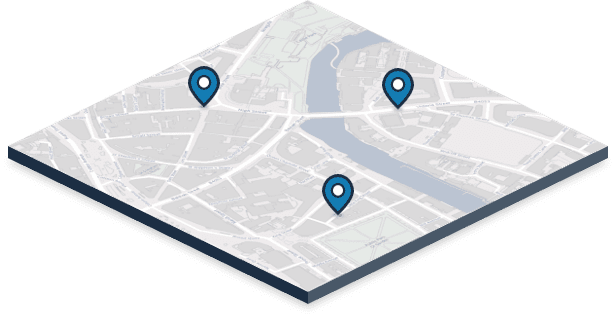
Pins and points

Respondents drop pins on specific locations or points.
Help and guidance articles
Learn more about how to use Citizen Space Geospatial in our Knowledge Base
